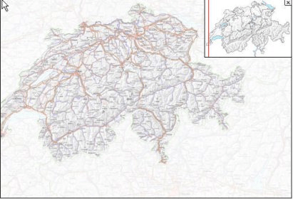
Swiss Map includes the complete official Swiss hiking path network, which can be used to calculate elevation profiles and walking times for selected routes as required.
Naturally it is also possible to exchange data with Garmin and Magellan GPS receivers by means of a COM or a USB interface. Castles, stately homes and other heritage areas can be displayed on the map along with the opportunity to call up further information.
Comments